 |
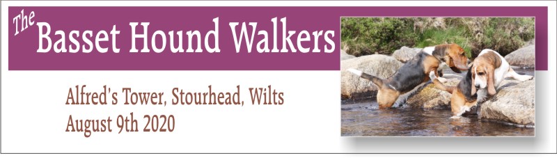
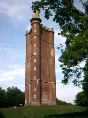
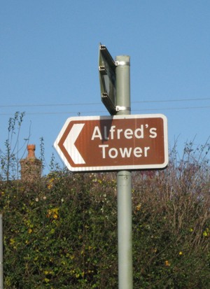
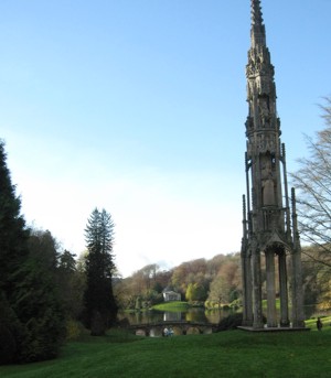
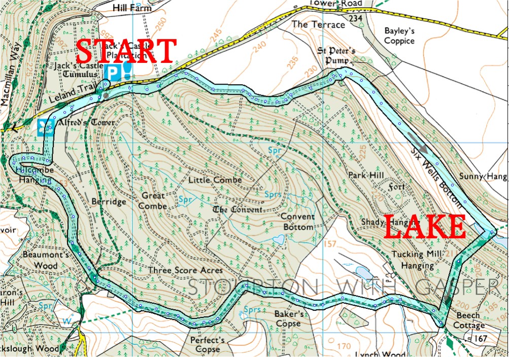
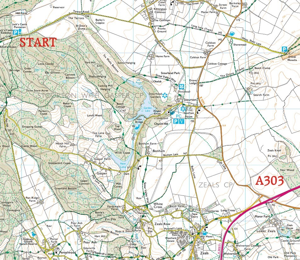
LATE NEWS: We will be doing a shorter walk than usual due to the expected heat. There is a good lake halfway then we walk largely within trees so it should be quite reasonable. Our first walk as a pack since March, which seems so long ago. We are limited to thirty people, not Bassets, you must email me here if you intend coming. If by some chance we get an avalanche I will have to decide I suppose on First Come First Served - so don't delay, drop me a line. Thank you. This will be our 126th walk. Yes an old favourite but still worth repeating because it's a good walk with a nice variety of woods and fields. The walk today totals four miles with a stop by a lake at half way. And it's easy to find – close to the A303. To see a video of our last walk at Stourhead - made notable by the attendance of a magnificent Bloodhound - please click here. We start from the car park near Alfred's Tower (see right) that is not far off the A303 past Wincanton - or before if you drive from Wiltshire. We meander through gorgeous woods - keeping a wary eye out for the alleged pack of wild boar hereabouts - to open meadows and views of three counties. We tackle a couple of really wee slopes, but there are steps up part way so it will be quite cushy.(For a map of our walk see here.) To reach the start (10.30) To see a road map please click here.
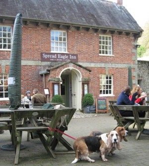
Ever welcome pub stop conveniently halfway round.
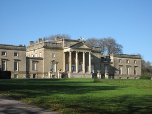
Stourhead House (built by bankers, of course)
|
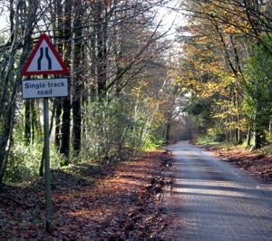
Car park 50yds to the right here
The view on all the postcards
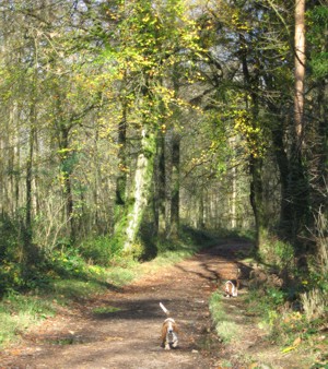
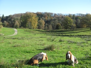
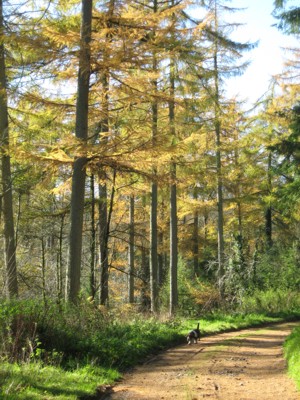
Walk down the valley
|
||
| Click here to return to Basset Hound Walkers Home Page | |||