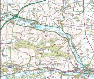
Walk leader Guy says: "We've found a great walk at Dinton Woods, between the Villages of Wylye & Dinton in South Wiltshire. Nearest postcode I can find is SP3 5EU (which happens to be a Brewery!!).
It’s only a mile or so from the junction of A303/A36 so easily accessible.
The walk itself is a touch over five miles starting along 'Monarch's Way' trail and returning along a main Forest Ride which follows the course of an old Roman road. The first half is along the Forest edge overlooking downland fields (and affording many, many opportunities for Hounds to forage in hedge bottoms - our Alice will show the pack where), gently ascending into the Forest proper which is a commercially managed woodland with a mix of deciduous and coniferous trees (coppiced hazel abounds along the ride edges). At about ¾ stage we will (if people are feeling up to it) have the opportunity to add an extra mile and a half, by crossing the wood to the Northern edge to get brilliant views over Wylye Valley (Sarah & I got this wrong and made it a 7 ½miler).
The village of Wylye through which we will probably all be returning to A303 boasts a Pub for afterwards. (Whooppee).
Directions to Start (10.30am)
From A303/ A36 Wylye Junction (this is just to North of Village). Follow directions to Wylye entering Village along High Street. Bear to left (by weight restriction sign). At small crossroads junction bear left (Fore Street). Take first right (Dinton Road) – this is a narrow lane not quickly visible. Follow Dinton Road for 1.5 miles when you will come to an ‘S’ bend. The road now starts to go downhill, with woods on your left.
After 50 yards downhill the woods stop and you will see a narrow farm track, on your left. Turn onto this track to park. (See the RED arrow on map: click to enlarge). This track is a farm access so please do not block it – there are a couple of places along the track where cars can be parked safely. Hopefully we will there early enough to be able to direct you where to park.
The route of the walk (excluding any add-ons) is shown on the map. We follow Monarch’s Way (below woods) until it meets the ‘Roman Road’ through the woods; turn left and follow the ‘Roman Road’ back to the start.

Click on map to enlarge
|

