| |
This walk, has everything: the sea, fossil beach, views of welsh Wales, moorland, just one hill up - and if you behave - one down - and a cream tea to finish. A walk not to be missed.
(To see what a great time we had in 2015 click here ).
Kilve is a few miles west of that French/Chinese power station that may, or possibly may not, keep our lights on along the road from Bridgwater (Junction 24) to Williton and Minehead. As you can see right the coast is an amazing sight of geological art forms, so bring your hammer and rucsac to carry any ammonites your hound can sniff out - though being around 80 million years old perhaps the truffle smell may have diminished by now.
Please let me know if you intend coming - just bring some lunch and bonios.
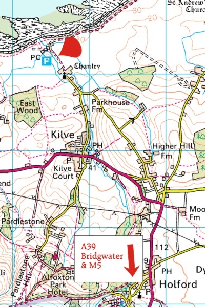
To find the start (10.30am)
Most will perhaps leave the M5 at Junction 24. (Google Maps say it's 14 miles from here to Kilve). Follow the A39 signed to Cannington, Williton and Minehead skirting around Nether Stowey (Coleridge: "Water, water everywhere . . . ). The Quantocks will always be above you on your left, with the sight of the sea and Welsh Wales beyond.
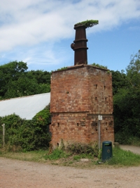
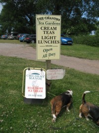
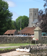
After passing the village of Holford - most of the pretty village is off to your left - go round a sharp left-hand bend, drop down into the valley and the next village is Kilve. In the centre take the road to the right (Sea Lane) by Kilve Stores (photo right), next to the Hood Arms. After ¼ mile you'll see a parking ticket machine on your left just before the Chantry Tea Rooms (SatNav: TA5 1EG: later we'll eat their cream tea). Stop and buy your ticket here (£2.50 all day) then drive on and park. Ignore the first entrance to the car park and either take the next one or drive right to the end when you'll see the oil shale retort - GB's first fracking oil refinery. (see below).The sea is a few yards beyond.
Our walk: a smidgeon under six miles, half of which is definitely down-hill.
We take the coast path along to East Quantoxhead - frolic among the curious rock pools - then across the A39 carefully and soon tackle a steepish 200yds up to the shoulder on open moorland that leads steadily up to just below the ridge of the Quantocks to hopefully enjoy spectacular views across the Bristol Channel. From the top it's downhill all the way licking our lips for the scrumptious tea that awaits.
The postcode is as near as I can make it: TA5 1EG, or map ref ST144 442.
Drive past here to the car park 100 yds further along.
Duck pond passed en route: East Quantoxhead, home of the Luttrell family (Dunster Castle etc) for a few hundred years no doubt.
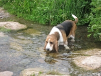
Here's a stream yards from the cream tea rooms nearly at the finish. Don't say I don't look after you.
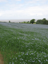
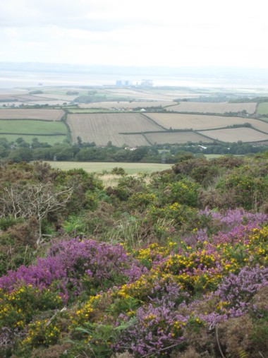
Linseed field near the finish. Bristol Channel in background.
|
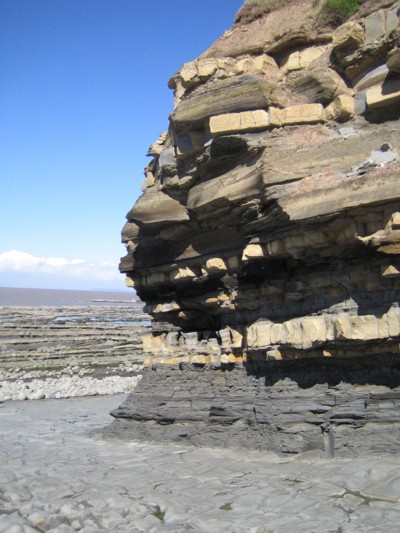
Curious cliffs at Kilve
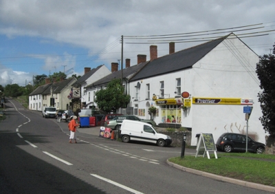
Turn right here off the A39 if coming from J24 (M5) by Kilve Stores
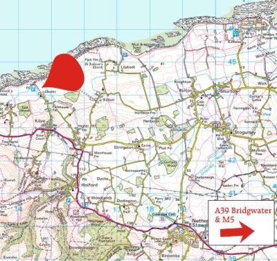
Map of start (click on map to enlarge)
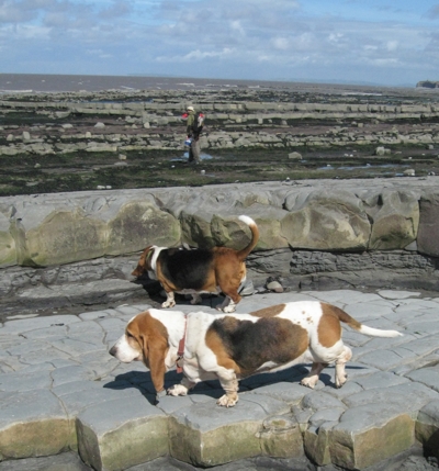
Beach at East Quantoxhead, above. Bristol Channel below. (The late Miss Moppet and Matilda in happier days).
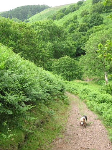
Below: thought I'd throw in the only moderately steep-ish stretch of the one hill that brings us out on the open moorland of The Quantock Hills. You see that my then nearly 11 yr old Matilda is positively streaking up it - only takes five minutes, and when we're past you'll wonder why I bothered.
|